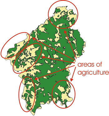
Landusage
The recent landusage of the Spessart is shown by data,
basing on satellite-images.
Generalisation allows to draw instructive maps.
Settlement areas count 5,7 % and agriculture-areas nearly 13 %. The areas with
forest (64,1 %) contrast with open land areas (35,9 %).