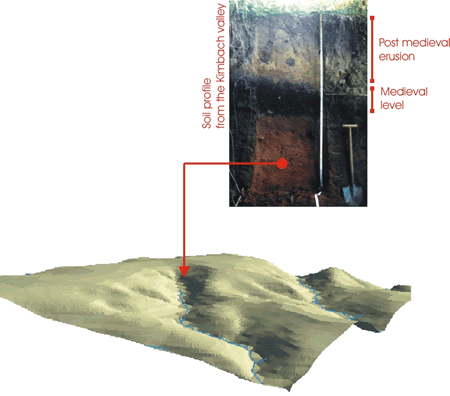
Landscapes in 3D-models
With GIS it is possible to develop 3d-models of landscapes.
Three-dimensional analysis allow to reconstruct and quantify the soil erosion and movement of sediments in the environ.

Landscapes in 3D-modelsWith GIS it is possible to develop 3d-models of landscapes. Three-dimensional analysis allow to reconstruct and quantify the soil erosion and movement of sediments in the environ.
|

|