| ||||||||||||||||||||||||||||||||||||||||||||||||||||||||||||||||


The Cultural Landscape of the Bjäre Peninsula
A Bronze Age Landscape in South Sweden
|
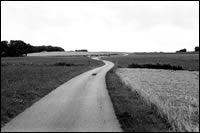
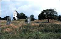
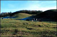
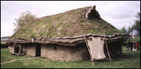
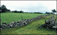
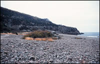
The Bjäre peninsula is located in the northwest of Scania in southern Sweden. The area has a sloping topography towards the southwest and rises in the north-northeast to heights of about 200 m above sea level. The size of the naturally clearly defined peninsula is about 10 x 10 km. The study area will however also include inland areas further east. In all about 200 m2 will be taken into account, which also includes an island, Hallands Väderö, with spectacular biological values. ResearchThe use of GIS, Geographical Information System, is a crucial tool for the project. Existing data of the area will be converted into a GIS program. Through this system we may combine all information and use the programs search engine as an analytic tool. GIS will also be used to carry out a characterisation of the cultural landscape. This will give us a picture of how human impact has altered the environment to its present. In this way we will also gain knowledge on how representative the monuments in the area are, because in times when the impact was great we may assume that a lot of monuments were destroyed. To make the survey of the Ancient Monuments Registry as complete as possible, we will to some extent conduct complementary fieldwork, especially in areas with severe human impact. Our ambition is to find a link between the past and present vegetation of the Bronze Age mounds on the peninsula. Many of these show a specific set of plants typical for managed grassland. Solving this problem may be possible if pollen analyses from inside and below the mounds are compared with the existing vegetation on their surfaces. These pollen analyses will also give information about the cultural landscape during the Bronze Age period. Also a more extensive inventory of the vegetation will be conducted in selected parts of the project area. CommunicationAn important aim in our work lies in communicating the results of the research that will be conducted. At the national level this task will be conducted by Föreningen Bronstid, who are providing this information on a website on the Internet. Here it will be possible for the public to communicate their knowledge and thoughts about the cultural landscape in the region. This exchange is of great importance in the future management of the cultural landscape of the Bjäre peninsula. Together with the local authorities, seminars will be arranged with different landscape users in order to communicate and open channels of dialogue between different interest groups, for example farmers and developers.
A virtual pathway will be developed to complement the two physical ones that already exist on the peninsula. The virtual pathway will be accessible both from Internet and CD-ROMs.
Project team: The Institute of Archaeology at the University of Lund The Swedish University of Agricultural Sciences - Department of Crop Science |
|
|
|
|
|
|