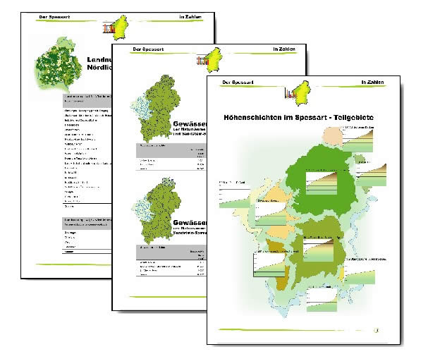
The brochure "Spessart in Zahlen" is a new compilation of area-based data from the Spessart mountains. What is special about it, is that it contains scientific information and data, which are usually missing in statistical compilations and thus offers background information on the natural inventory of the Spessart landscape in an easy-to-use portfolio.
The information file is aimed at the wide audience of people interested in the Spessart. Both professional scientists and amateur naturalists will be able to use the compilation as an invaluable reference for any area-based data work in the Spessart.
The recently published brochure was created with the help of a geographic information system (GIS). This is a computer-based system, which can read, process and manage area-based, geographic data. At the Senckenberg Research Institute's Station for Highland Research (Forschungsstation für Mittelgebirge des Forschungsinstituts Senckenberg) a regional GIS for the Spessart region is presently being created in the project "Spessart-GIS". As a sub-project of the Archaeological Spessart Project, which aims at studying the cultural landscape in the Spessart, the "Spessart-GIS" was incorporated into a European characterisation of cultural landscape within the EU-Project "Pathways to Cultural Landscapes".